Above the Ocean-Continental Transition: from the Corinth Rift to the Kefalonia Transform Fault
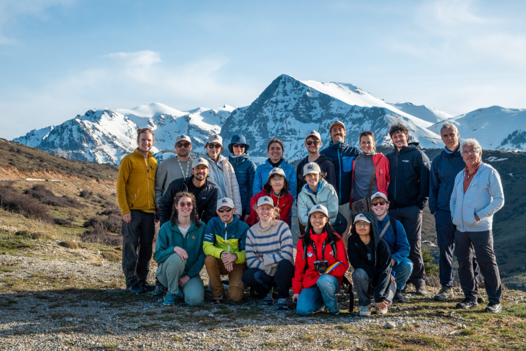
From the 13th to the 17th of April 2026, 20 members of DEFORM traveled to Greece to take part in DEFORM’s first field trip, led by Silvia Crosetto and Laurent Jolivet. The focus of the trip was the Corinth Rift, the fastest spreading rift system on Earth, and related fault systems such as the Katouna-Stamna fault and Kefalonia-Lefkada Transform fault. At the surface, stratigraphic and strucutral features evidence the geodynamic evolution in an area that is heavily characterized by subduction mechanics. In fact, the Kefalonia-Lefkada Transform fault system marks the progression from oceanic subduction in the south to continental collision in the north. Earthquakes of magnitudes larger than 7.0 represent the forces involved in this dynamic scenario.
The mostly early career researchers from DEFORM got an overview on how deformation is expressed in the area, and provide them with enough geological background information to be able to successfully tackle their individual DEFORM projects.
Travel report
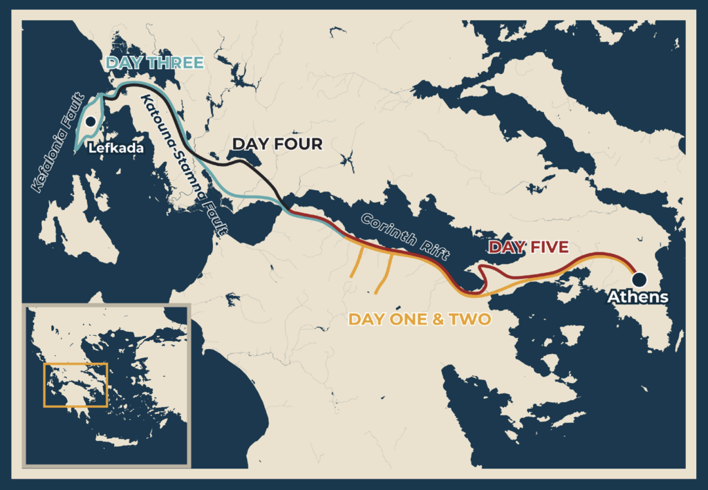
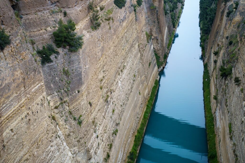
Diakopto, a small village situated on a recent sedimentary delta at the shore of the Corinth Rift acted as our base for the first three nights. Along the way there from Athens, the Corinth Canal invited us for a first stop. The canal crosses the Corinth Isthmus and the famous bridge over the man-made trench offered a spectacular view on the syn-rift sediments, the oldest dated at 3.4 Ma. These sediments are cut by steep normal faults offsetting the horizontal bedding.
Day 1: a first transect of the southern Corinth Rift
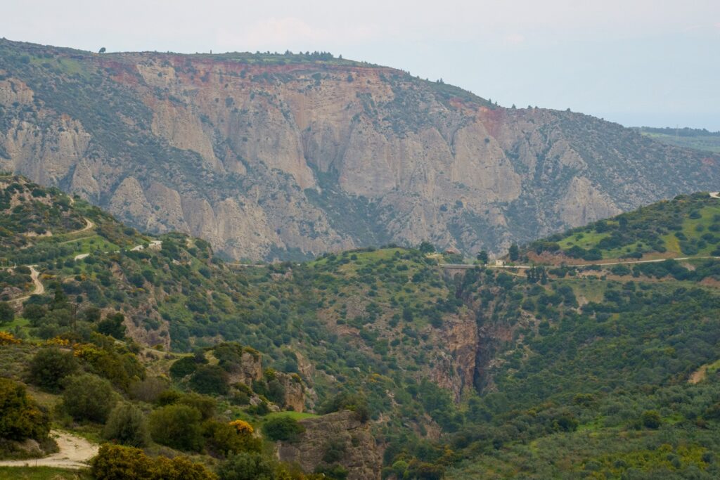
After a rested night, the first full day took us along the Krathis River valley, tracing a north-south transect of the southern side of the rift system. A series of steeply dipping faults down associated to a low-angle detachment shaped the rifts earliest stages. At the shore, we started at the Helike fault, working our way past tilted syn-rift sediments, several tilted blocks of calcareous basement, to the Cretan decollement, a low-angle detachment, and the associated breccias. The outcrops and landscapes introduced the week’s open question: was this rift built by steep normal faults, or did the low-angle detachment do the early work?
Day 2: Following the Xylocastro Fault
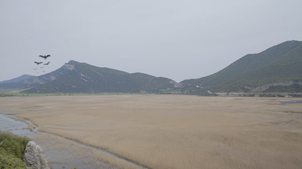
On the second day, we moved further east, to the footwall of the Xylocastro Fault, the largest active normal fault. Guided by Laurent Jolivet, we moved through uplifted giant Gilbert-type deltas, the Feneos depression (a former lake isolated from the sea by the back-tilting of the land around it), and the shores of Lake Stymphalia. This site is famed as one of Hercules’ twelve labors, fighting off man-eating, metal feathered birds. Did he finish off the job? Here, we picked up the low-angle detachment again, this time with a roll-over anticline written into the landscape. We finished off the day at an outcrop of the Xylocastro Fault looking at marine terraces that are crucial to dating the rifting history of the Corinth Rift.
Day 3: Crossing to Lefkada and the Kefalonia-Lefkada Transform Fault
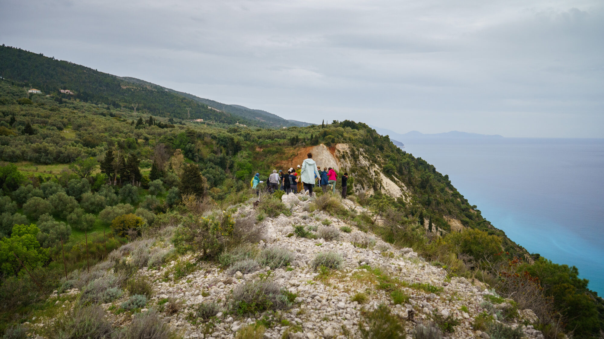
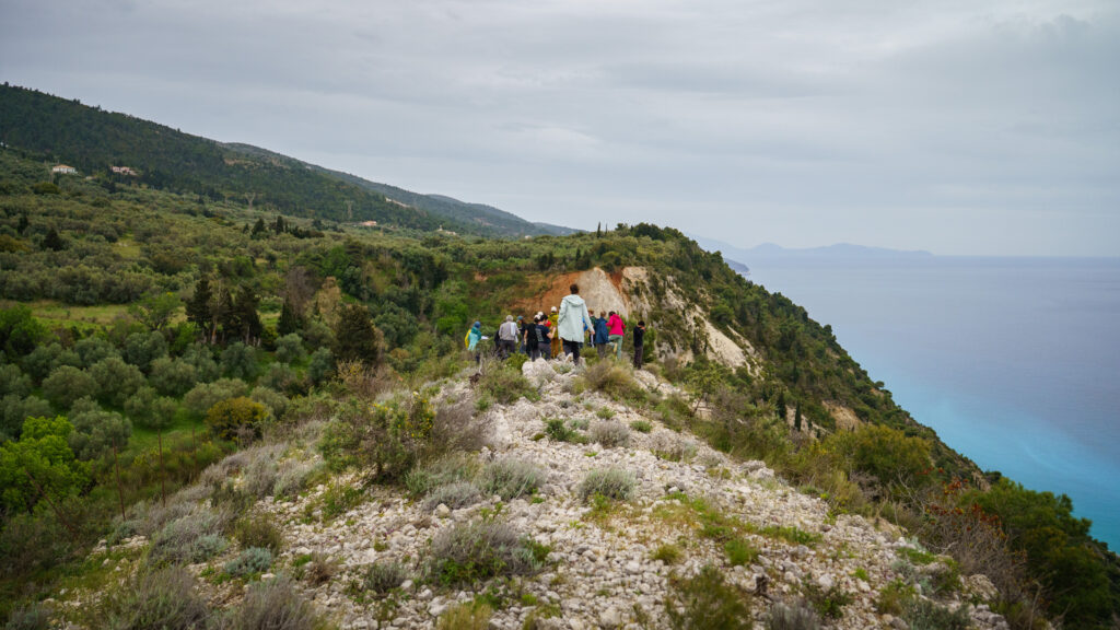
Wednesday took us west, from Diakopto to Lefkada, to trace the northern end of the Kefalonia-Lefkada Transform Fault (KLTF) under the guidance of Silvia Crosetto. With parts of the fault system being exposed onshore, the island offers a variety of outcrops over a relatively short distance. A massive limestone anticline indicated where the Ionian overthrusted the Pre-Apulian. After an adventurous climb up to our next outcrop, a well preserved fault plane, Silvia showed us semi-graben and graben structures of a following transtensional phase. In this phase, the Athani-Dragano basin formed as a hanging alluvial basin.
Finally, we observed the most recent structures: normal faults cutting the grabens’ footwall slope, and strike-slip faults belonging to the KLFT system. Our viewpoint over the Dragano strike-slip fault had, luckily, survived the coastline’s notoriously fast cliff retreat. From here, we could see the level of damage caused by the KLFT system along the coast, which causes extreme slope instability and frequent rockfalls.
Day 4: The Katouna-Stamna Fault and a salt wall that looks like soap
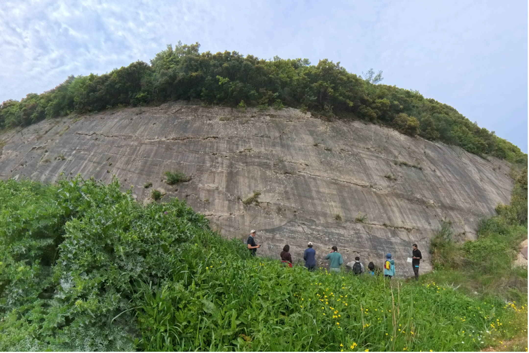
Heading back south, towards the eponymous city of Katouna, the Fyteies Salt Wall overlooks the landscape. The soapy looking wall displays intricate deformation patterns in the gypsum and anhydrite sediments presenting the plasticity of evaporitic sediments. Close by, another beautiful outcrop of the KSF in carbonate rocks raised for more than 20 m above our heads and presented two well-visible families of striae marking the recent motion direction along the fault plane.
Day 5: The Perachora Peninsula on eastern Corinth
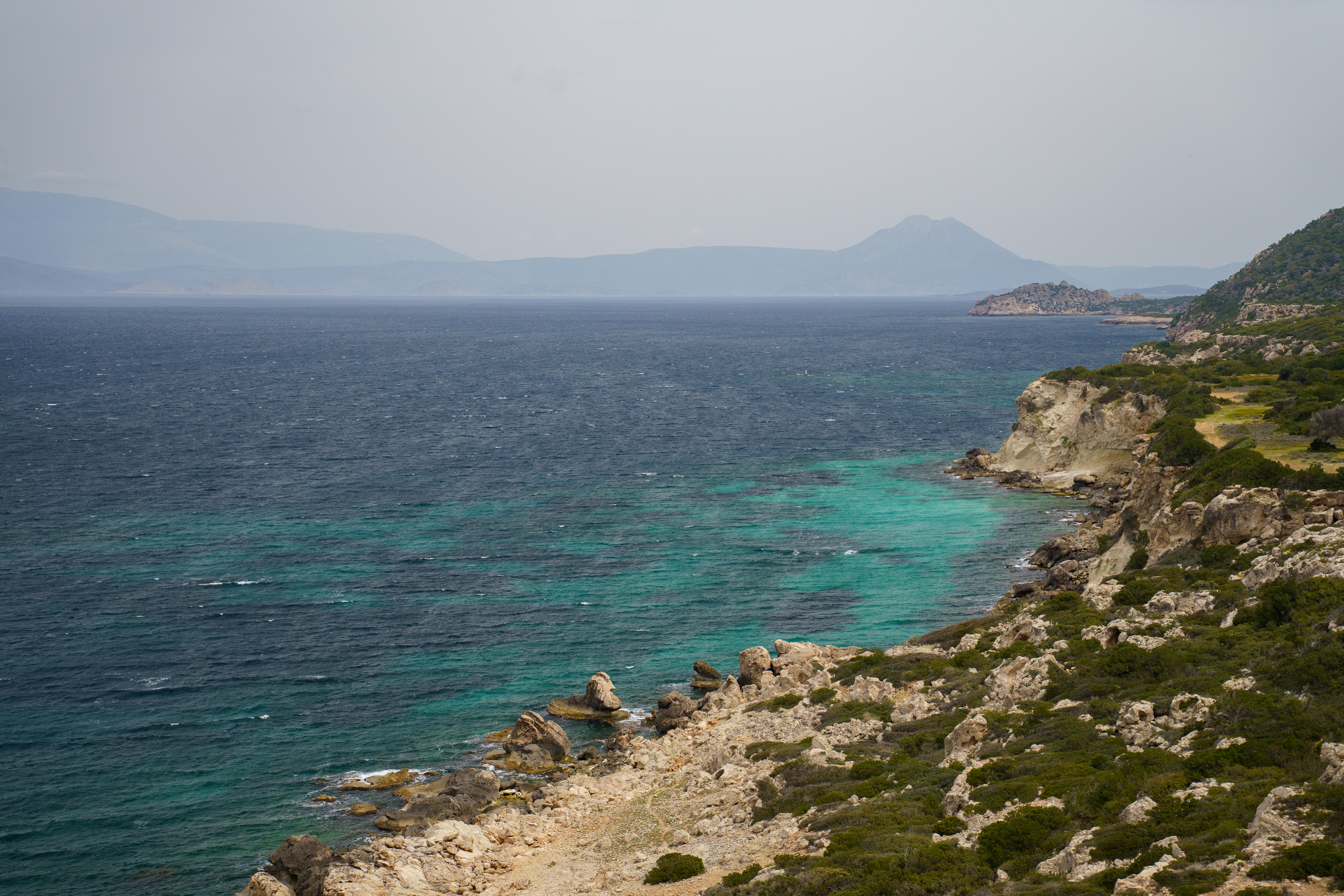
Our final half-day brought us back to eastern Corinth, to the Perachora Peninsula. The 2020 earthquake sequence and the more destructive 1981 series before it left marks in the landscape along a 15 km surface trace along the northern coast, with an average displacement of 60–70 cm. A close look at the coastline itself revealed beachrock found at elevations of up to 3m and terraces stepping down at 3, 2, 1 and 0.4 m. Marine notches are carved on limestones at matching elevations and represent a physical record of the coast’s slow rise. A fitting last outcrop for the week.
Filming for the virtual field trip
Throughout the trip, we accompanied the stops, outcrops and discussions along the way with a camera. This footage will form the basis of a virtual field trip, so that anyone unable to join us in person can follow along, virtually. Keep an eye on the DEFORM website, we’ll share more details as the virtual field trip takes shape.