News & Events
About us
The Adriatic region is highly exposed to natural hazards, especially earthquakes. The eastern Adriatic Plate, our focus area, offers a unique opportunity to explore the causes of these risks.
DEFORM’s goal is to model plate deformation and geohazards using advanced technologies like digital imaging, seismotectonic analysis, and numerical simulations.
Through collaboration, workshops, and partnerships, we integrate real-world data into 3D models. Our work aims to improve geohazard understanding and risk assessment in the Adriatic region.
Activity Fields
Activity Field A:
Geophysical Imaging
Activity Field B:
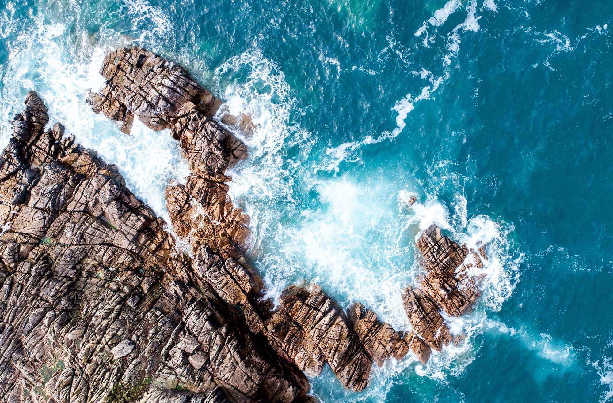
Seismotectonics
Activity Field C:
Advanced Modeling Tools
Unleash your creativity with Inspiro
This is some dummy copy. You’re not really supposed to read this dummy copy, it is just a placeholder for people who need some type to visualize what the actual copy might look like if it were real content.