Submarine Hazard Assessment for the Right-lateral Kefalonia Transform Fault System
Central Questions
Is the targeted segment of the Kefalonia Fault capable of generating tsunamis?
How can we constrain millennial-scale activity of the Kefalonia Fault system using seismic interpretation of paleo earthquakes and submarine canyon morphometry, and explore mass transport deposits (MTDs) in the vicinity of the fault?
What geophysical, geodetic, and oceanographic parameters on the seafloor can be collected to serve as a baseline for a long-term monitoring system of fault activity?
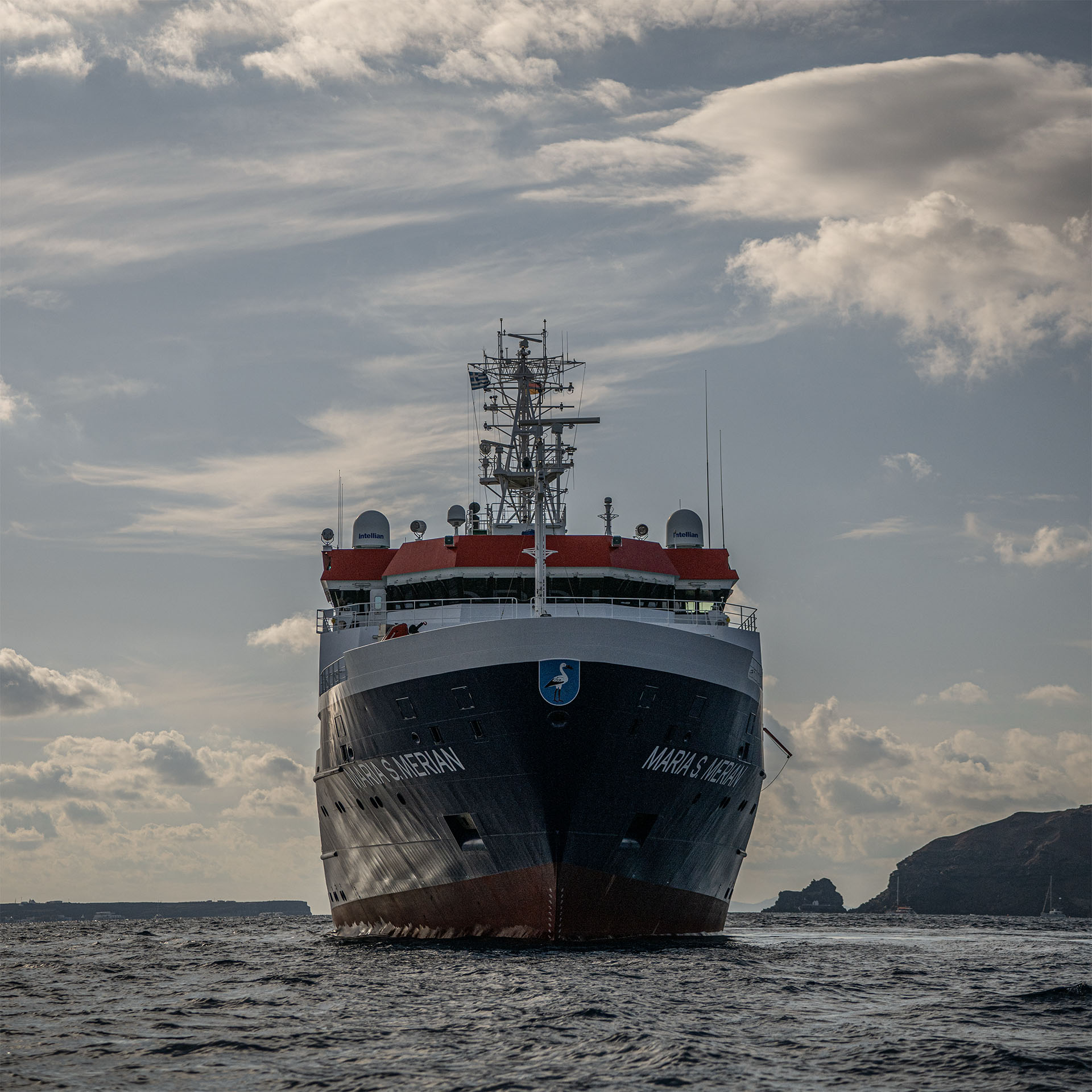
The Kefalonia Transform Fault Zone (KTFZ) is a highly active transform-fracture zone in Europe, having generated numerous significant seismic events over the past century. The SHARK project focuses on its offshore section near the Greek islands of Kefalonia and Lefkada.
Transform faults are primarily characterized by horizontal movement. However, significant earthquakes along these systems can generate tsunamis if the fault has a vertical component or if strong ground shaking triggers underwater landslides. To evaluate the potential hazards, a thorough investigation of the sedimentary layers of the continental plate and continental slope—which are subject to displacement—is necessary.
The objective is to enhance our comprehension of fault processes occurring at depths exceeding 1,500 metres beneath the ocean floor.
SHARK aims to characterise the geometry, structure and activity of the KTFZ by collecting and analysing new geophysical and geological data. These findings will provide valuable insights into the tectonic processes that occur during the transition of oceanic domains to continental collision zones.
This will aid the development of more realistic models of earthquake rupture, which are crucial for assessing seismic and tsunami risk. A fundamental goal of the project is to identify and characterise submarine mass-transport deposits associated with the KTFZ. The project will investigate the occurrence, timing, and triggering mechanisms of submarine landslides, and assess their potential of generate local tsunami events. These results will contribute to DEFORM and to a broader understanding of the subduction-to-strike-slip transition zones and their associated geohazards worldwide.
SHARK will employ the following approaches:
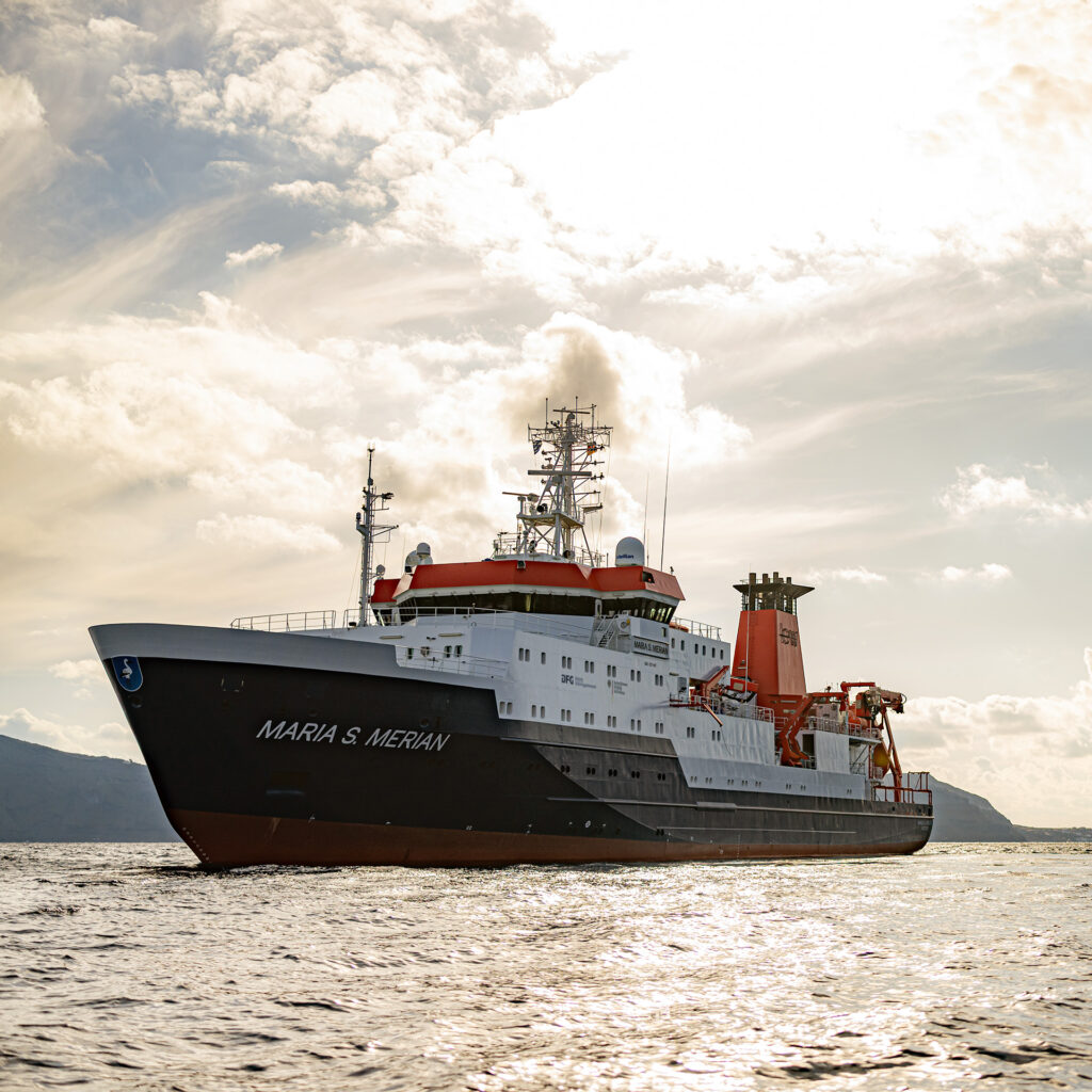
- Marine research campaign combining high-resolution 3D and 2D seismic reflection surveys with ultra-high-resolution seafloor mapping derived from underwater photogrammetry.
- This will be used to evaluate the tsunami-generating potential of the investigated fault segment and to reconstruct the long-term activity of the Kefalonia Fault system over millennial timescales
- Submarine landslide investigation using multibeam bathymetry, sediment echosounder data, and sediment sampling
- Seafloor observations collecting geophysical, geodetic, and oceanographic data to establish a baseline for future long-term monitoring of fault activity
- Integration with DEFORM to provide essential morphotectonic information from offshore areas, enabling a comprehensive land-to-sea perspective on active deformation processes